Tara, saka tas Bud Bongao!
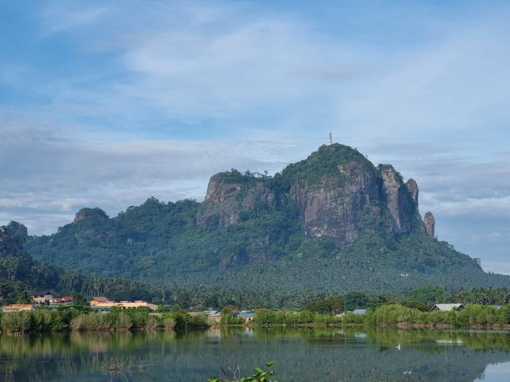
Bud Bongao is one of the most culturally revered and ecologically rich mountains in the Philippines, nestled on Bongao Island, the capital of Tawi-Tawi province.
What is Bud Bongao?
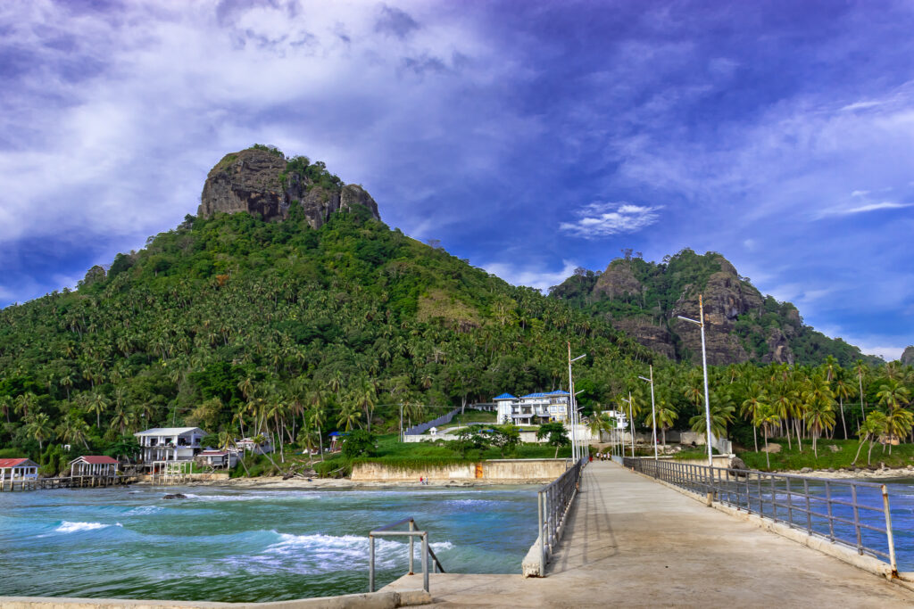
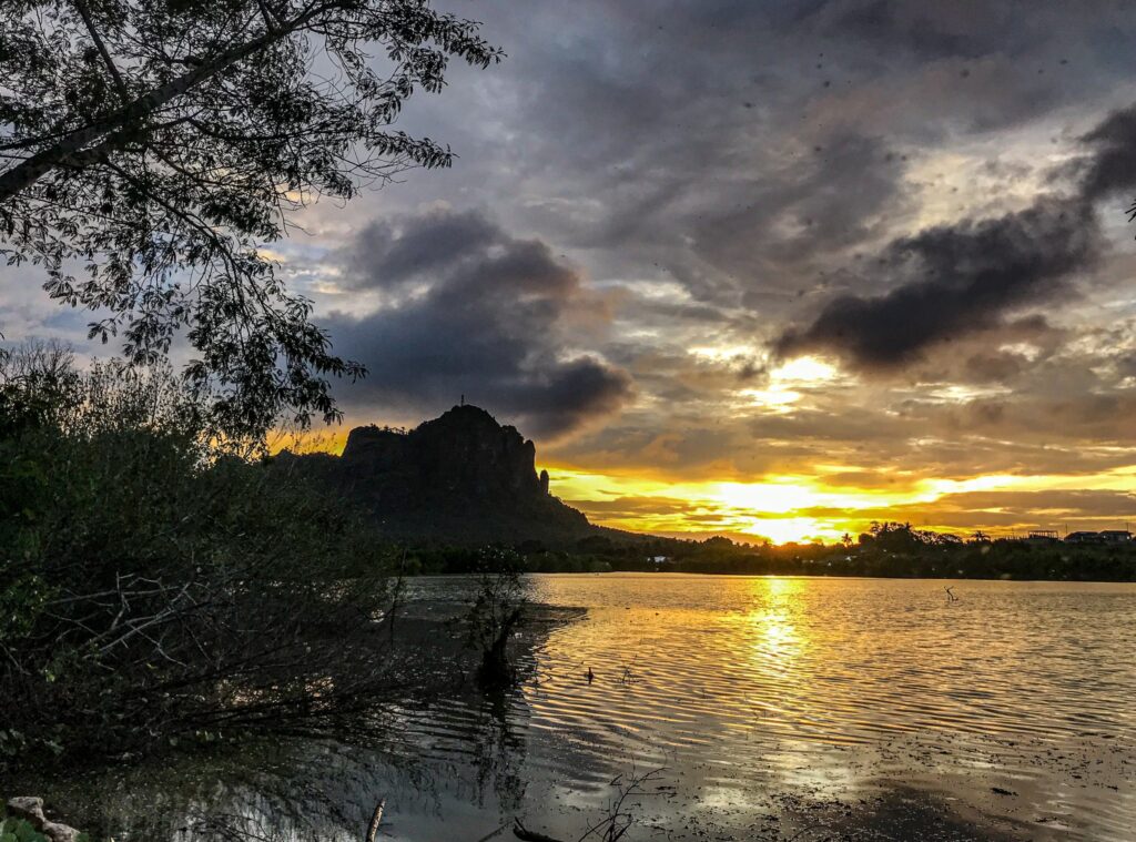
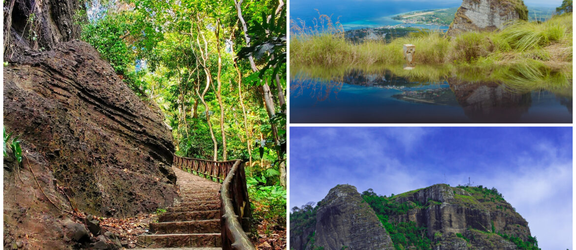
At 342 meters above sea level, Bud Bongao is derived from the Sama word bud, which means “mountain” and is the highest peak on Bongao Island, Tawi-Tawi. It is a portion of the 250-hectare Bongao Peak Eco-Tourism Park, a protected forest that was established in 2017. Six limestone pillars make up the mountain, each of which forms a unique peak named for a neighboring island: Bongao, Pajar, Sibutu (top), Simunul, Tambisan, and Tinondakan.
Sacred Significance
Both Muslim and Christian pilgrims hold Bud Bongao in high regard. Two Islamic preachers who were disciples of Karim ul-Makhdum, who brought Islam to the Philippines in 1380, are thought to have been buried there. Along the route are the Tampat Rocks, which are revered shrines. As part of a local custom, pilgrims from both Muslim and Christian groups frequently tie leaves or pieces of fabric to trees as a symbolic act of wish-making or prayer.
Biodiversity & Ecology
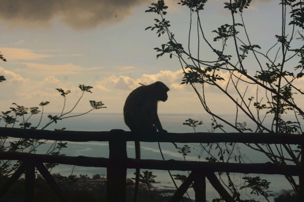
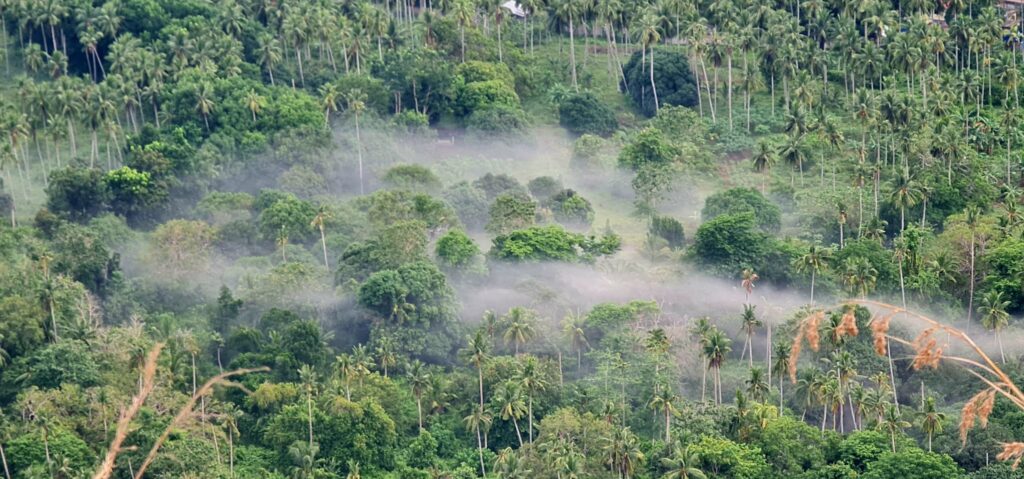
Bud Bongao hosts one of the last remaining moist forests in the Sulu Archipelago, rich in endemic species: Long-tailed macaques (Macaca fascicularis) that are often seen along the trail. Philippine pitta, mangrove blue flycatcher, and orange albatross butterfly. Rare sightings of the Tawi-Tawi forest rat and Philippine colugo in surrounding areas. The mountain is a model site under the New Conservation Areas in the Philippines Project (NEWCAPP), emphasizing community-led biodiversity protection
Things To Remember
Bring water, snacks, and the monkeys are friendly but bold, so bring bananas if you’re feeling generous. Wear comfortable shoes and dress modestly out of respect for local customs. No guide is required, but hiring one for Php 500 supports the local community and enriches the experience. Visitors are also encouraged to use biodegradable offerings and avoid plastic strips, in line with conservation efforts.
Trekking Experience
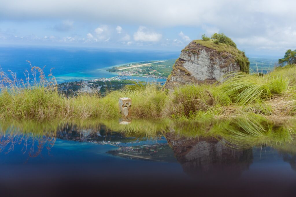
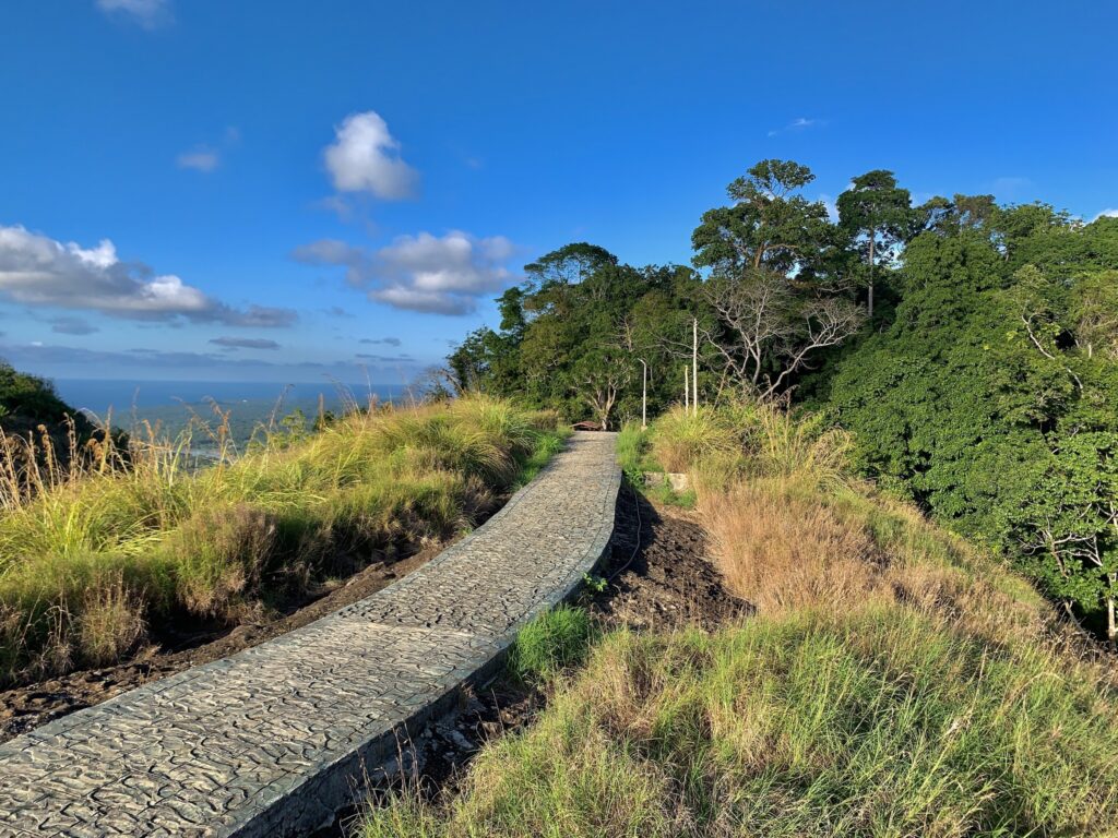
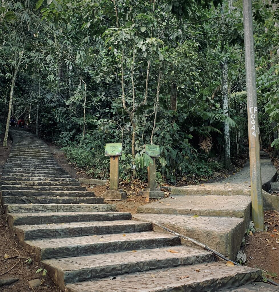
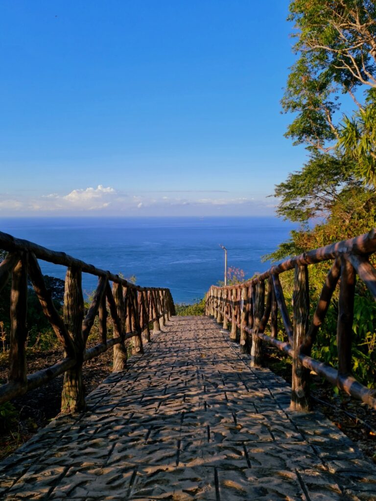
The trail starts at Barangay Pasiagan and stretches to 1.6 km with 3,608 cobblestone steps and an elevation of 288 meters. Some have rated the trail as Moderate (rated 3/9) and have an estimate of 45 minutes to 1 hour depending on pace. Along the way, hikers encounter rest stations, century-old trees, and panoramic view decks overlooking the Celebes Sea and Sanga-Sanga Airport. Register at the eco-park entrance as they open from 6:00 AM to 3:00 PM as park hours, with descent expected by 5:00 pm. The place has an entrance fee of ₱10–₱20 depending on residency status.
How To Get There
Exact Location: Bongao Island, Tawi-Tawi, Philippines
- By Commute: Upon arrival at Sanga-Sanga Airport, charter a tricycle to Barangay Pasiagan, the jump-off point to Bud Bongao then head to Barangay Pasiagan, the official jump-off point to Bud Bongao.
- By Car: From Bongao Town Proper, drive or hire a private vehicle to Barangay Pasiagan, located about 10–15 minutes from the town center. There are no public jeepneys or buses that regularly pass by this route, so private cars or chartered tricycles are the only options. Parking is available near the Bud Bongao Eco-Park registration area, which is adjacent to a military outpost.


Comments are closed.