
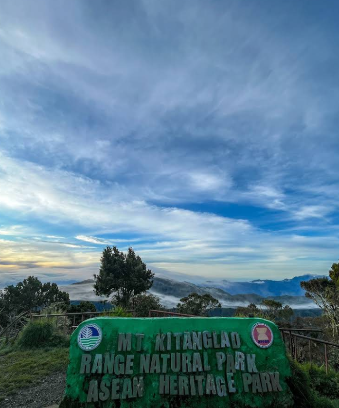
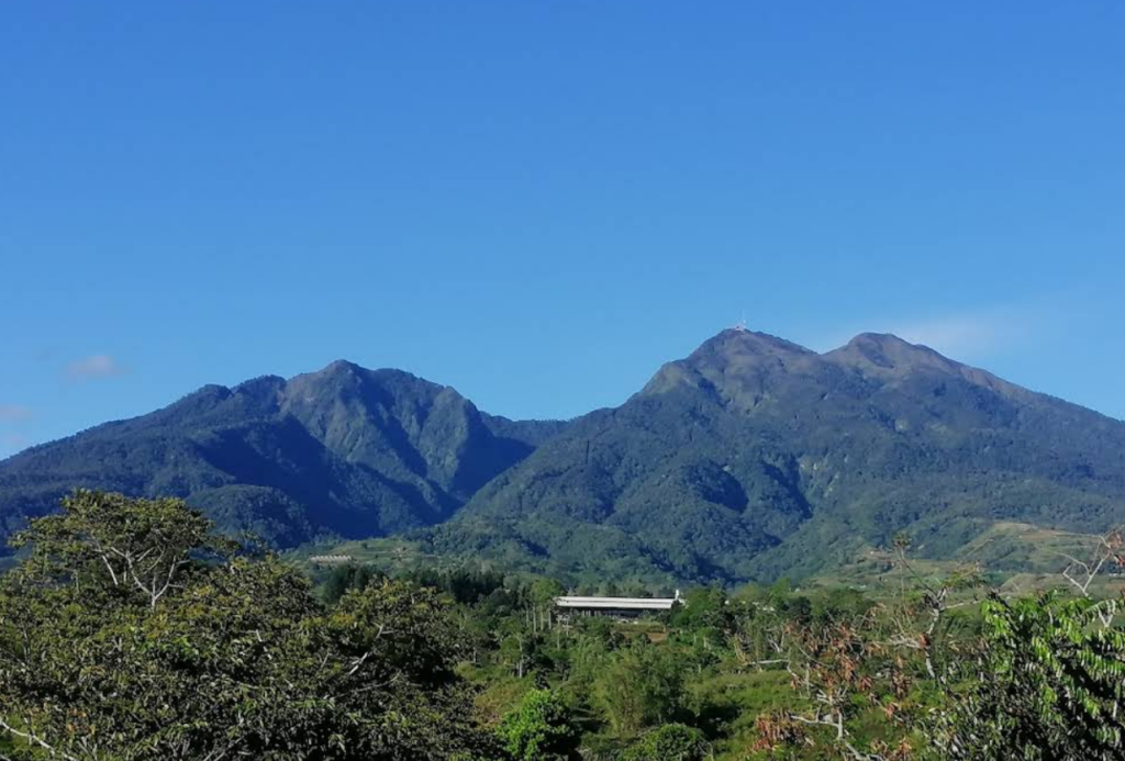
Rising at 2,899 meters above sea level, Mount Kitanglad is one of the country’s highest peaks and a sacred landscape in Bukidnon. It sits within the Mount Kitanglad Range Natural Park, a protected area known for dense rainforests, rich wildlife, and strong cultural roots tied to the Bukidnon, Higaonon, and Talaandig tribes. Beyond its height, Kitanglad draws hikers for its cool mountain air, wide forest trails, and the rare chance to walk through one of the last remaining rainforests in the Philippines. Read on to explore what makes Mount Kitanglad a meaningful climb and how you can experience it yourself.
Trail and Climb Details
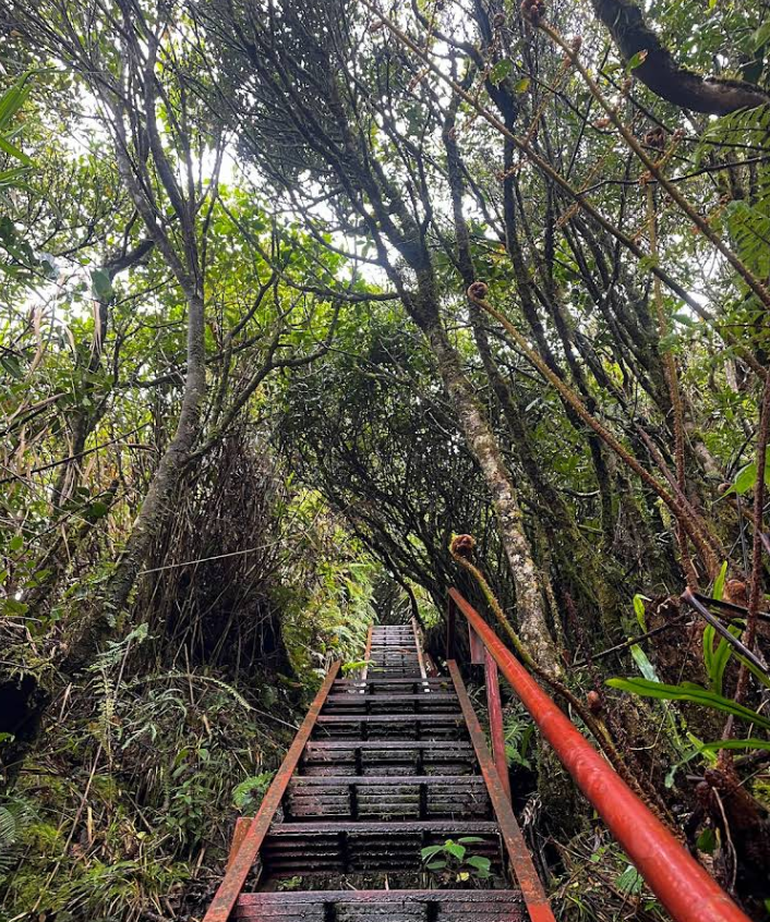
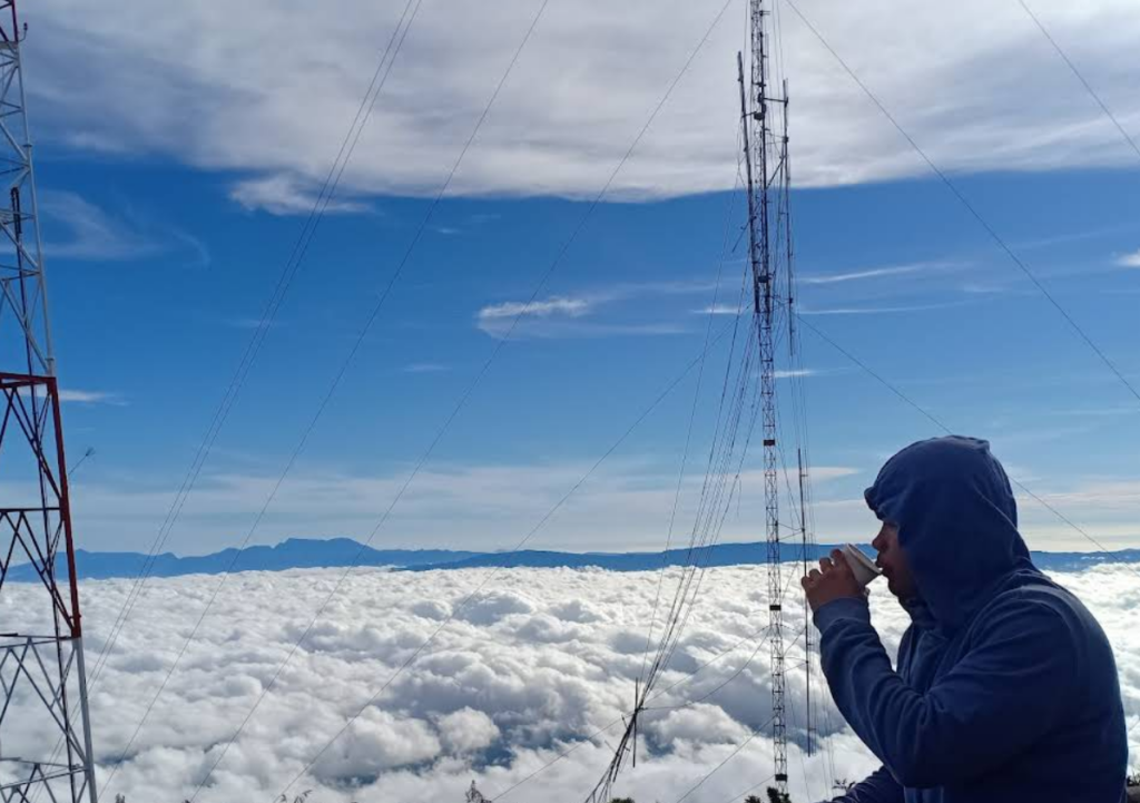
Mount Kitanglad is considered a major climb with a difficulty rating of 6 out of 9. The trek to the summit usually takes 5 to 7 hours, passing through mossy forests and mountain clearings. Mobile signals are strong at the peak, but potable water is limited. Rainwater is usually available at the quarters, and there are basic sleeping areas, so bringing a tent is optional for overnight climbs.
Fees and Important Reminders
As of writing, hikers should prepare a registration and environmental fee ranging from ₱300 to ₱500, while mandatory local guide fees usually start at ₱1,500 per group, depending on group size and duration of the climb. Prices may change, so it’s best to coordinate in advance with the Mount Kitanglad Range Natural Park management or local tourism office. Respect local customs, follow park rules, and remember that the mountain is both a natural sanctuary and an ancestral domain. All rates and fees listed in this guide are accurate upon writing and are subject to change.
How to Get There?
Location: Katinglad Mountain Range, Bukidnon, Philippines
By Car: From Cagayan de Oro City, drive toward Bukidnon via Sayre Highway heading to Malaybalay City. Continue north until you reach Impasugong, then turn toward Barangay La Fortuna. Follow local roads leading to Sitio Intavas, the official jump-off point of Mount Kitanglad. Travel time is around 3 to 4 hours, depending on traffic and road conditions. Parking is available near the ranger station, but coordination with local guides is required before the climb.
By Commute: From Cagayan de Oro, take a bus or van bound for Malaybalay or Impasugong. Ask the driver to drop you off at Impasugong town proper. From there, ride a habal-habal or hired motorcycle going to Sitio Intavas, Brgy. La Fortuna. Expect a rough road on the final stretch, especially during rainy months, so allow extra travel time.
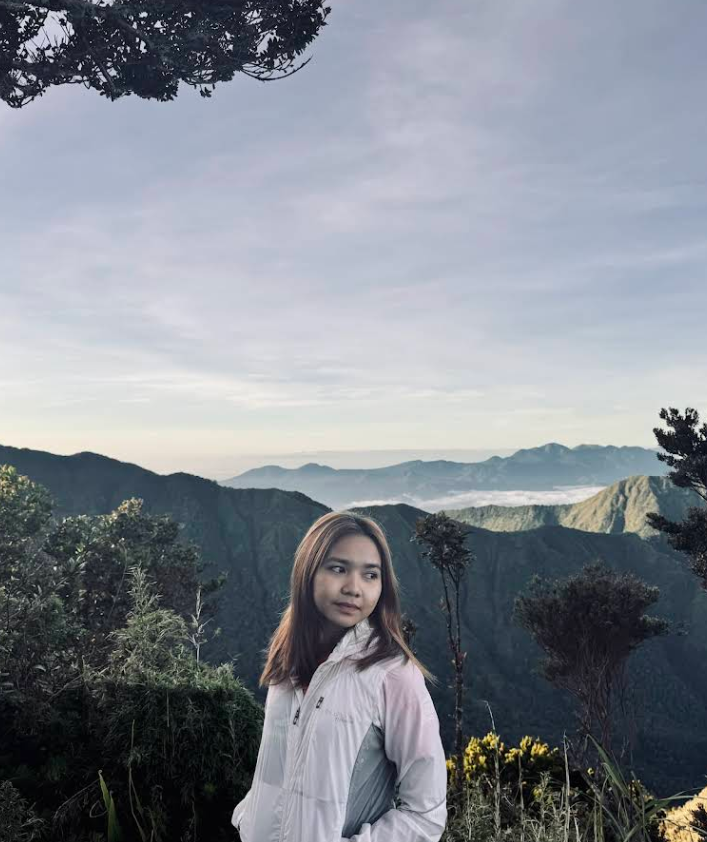
Aside from summit hikes, visitors can enjoy birdwatching, forest trekking, and learning about Lumad culture through guided interactions. The mountain is home to endemic birds, mammals, and plant species, making it a rewarding climb not just for hikers, but for nature lovers who value conservation and cultural respect.