
Where Nature Calls and Your App Answers, Hike VisMin Smarter, Not Harder!
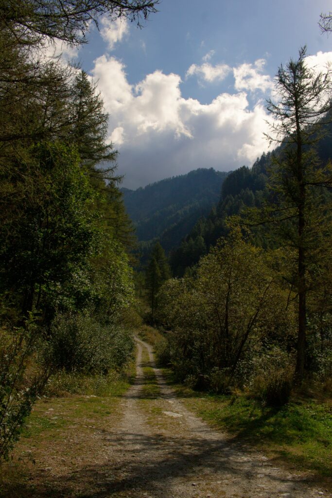
Hiking can be rewarding in many ways, including physical exercise, mental relaxation, technology detoxification, and a deep connection with nature. Having the right tools can make your journey safer and more enjoyable, whether you are a beginner or an experienced hiker. Modern technology offers various apps that assist with navigation, such as tracking and fitness monitoring, and even stargazing can be helpful during a hike. Using the best hiking apps to help you prepare, navigate, and make the most of your outdoor adventures.
Tech Meets Trek
Hiking apps are helpful in various scenarios, such as planning a hike, where they can be useful for researching trails, learning about challenging levels, and reading user reviews. Avoiding getting lost in unfamiliar terrain, especially in remote areas, can help you navigate more effectively. Moreover, checking real-time updates and emergency alerts can help prevent problems and make your hike a safer one. Monitoring your distance and pulse elevation can be a significant help by tracking your pulse elevation and the number of calories you’ve burned. The apps are beneficial whether you’re hiking in local mountains, parks, or even international trails.
Click To Start Your Hike
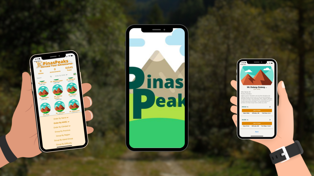
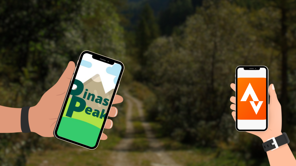
Pinaspeak
Pinaspeaks provides detailed information on different hiking destinations in the Philippines, including trail guides, difficulty ratings, and user experience, which is a must-have for Filipino hikers.
Available: Play Store/App Store
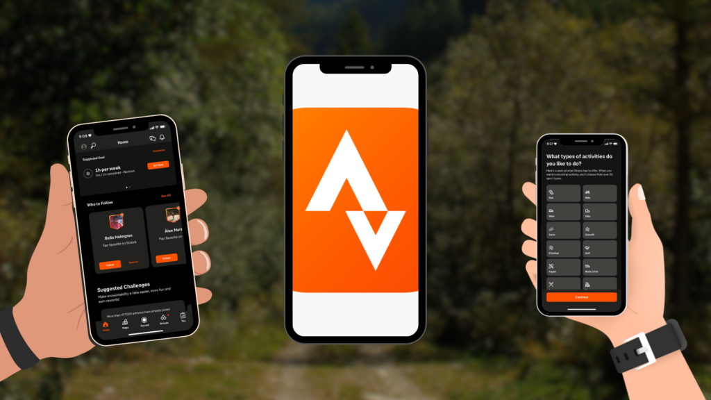
Strava
This app is a popular fitness app that tracks hiking routes, speed, elevation, and performance metrics. It also allows other people to share their adventures with the community of outdoor enthusiasts.
Available: Play Store/App Store
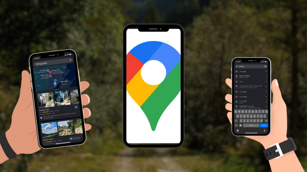
Google Maps
The most basic and reliable navigation tool, as Google Maps, offers offline maps. It is essential when hiking in other areas with poor reception, as you can download the maps.
Available: Play Store/App Store
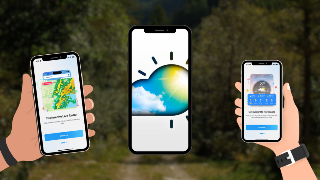
Weather Live
The app provides real-time weather forecasts that include temperature, wind speed, and precipitation, helping hikers prepare for any changing conditions.
Available: Play Store/App Store
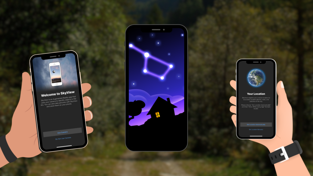
Skyview Lite
Night hikers or hikers staying overnight use augmented reality to identify stars, different constellations, and planets aligning, adding an educational element to the adventure.
Available: Play Store/App Store
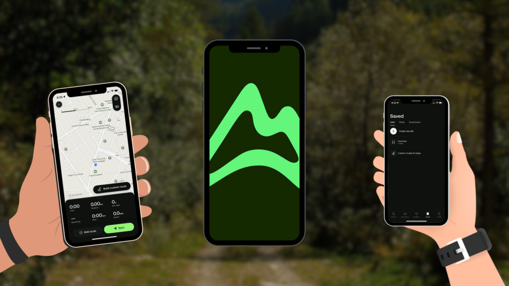
AllTrails
With a vast database of trail maps, AllTrails helps hikers discover new routes, read reviews, and download offline maps for safe navigation.
Available: Play Store/App Store
Trail Mix Of Safety And Smart
The use of hiking apps can prevent getting lost and find help along the way. The various applications are helpful in emergencies and enhance the hiking experience by sharing community knowledge. The tools can help hikers be informed, stay safe, and even connect with other outdoor enthusiasts. As it enhances your experience, learn about nature, track your fitness progress, and explore new trails with confidence.
Peak Me Up In VisMin
Mount Apo
Mount Apo is considered the highest peak in the Philippines, towering at over 3,144 meters. The peak offers an unforgettable adventure for hiking enthusiasts. It is located in the Davao region, and multiple trails are offered, whether you choose to start from Sibulan, Kidapawan, Kapatagan, or Magpet. Each trail is unique, and hikers may experience different things on each trail. Spotting the Philippine Eagle is one thing you can do during the hike, and dip yourself in a hot spring post-trek. Mount Apo boasts diverse trails, lush jungles, rocky boulders, and stunning summit views, making it a must-visit destination for adventurers.
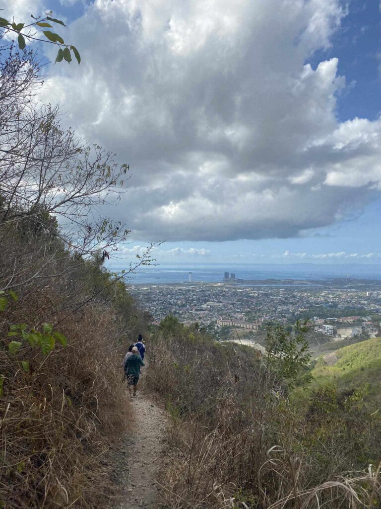
Starbuks
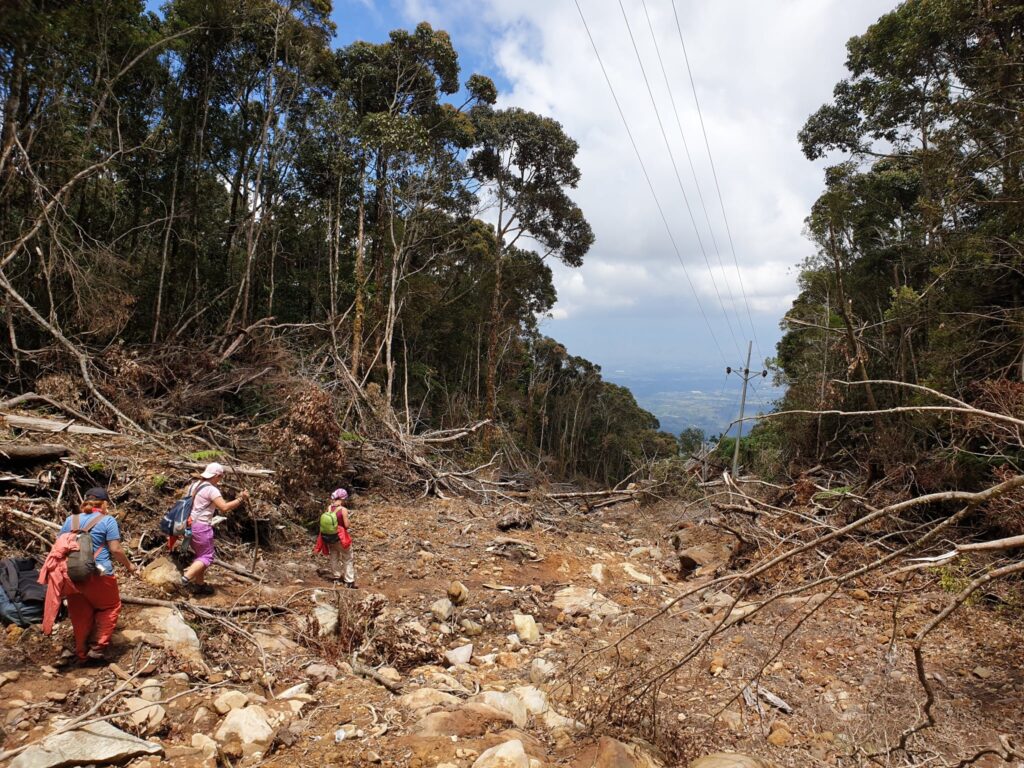
In Cebu City, Starbuks is quickly gaining attention as an exciting new trek destination. The trails consist of steep climbs, scenic ridgelines, and a beautiful view of Cebu’s landscapes. For an adventurer who wants to escape the city without traveling far, this is a perfect trail. Although this trail is suitable for beginners and less extreme than Mt. Apo, the experience in Sturbuks can be moderate but rewarding at the top. After the climb, reward yourself with food and a well-deserved coffee, because what’s Starbuks is for without a caffeine treat, right?

Mount Kitanglad
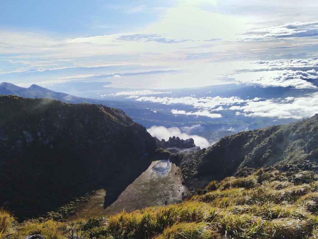
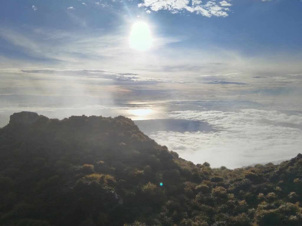
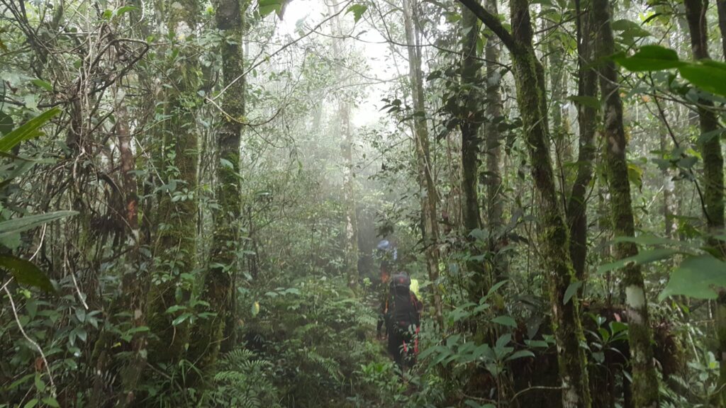
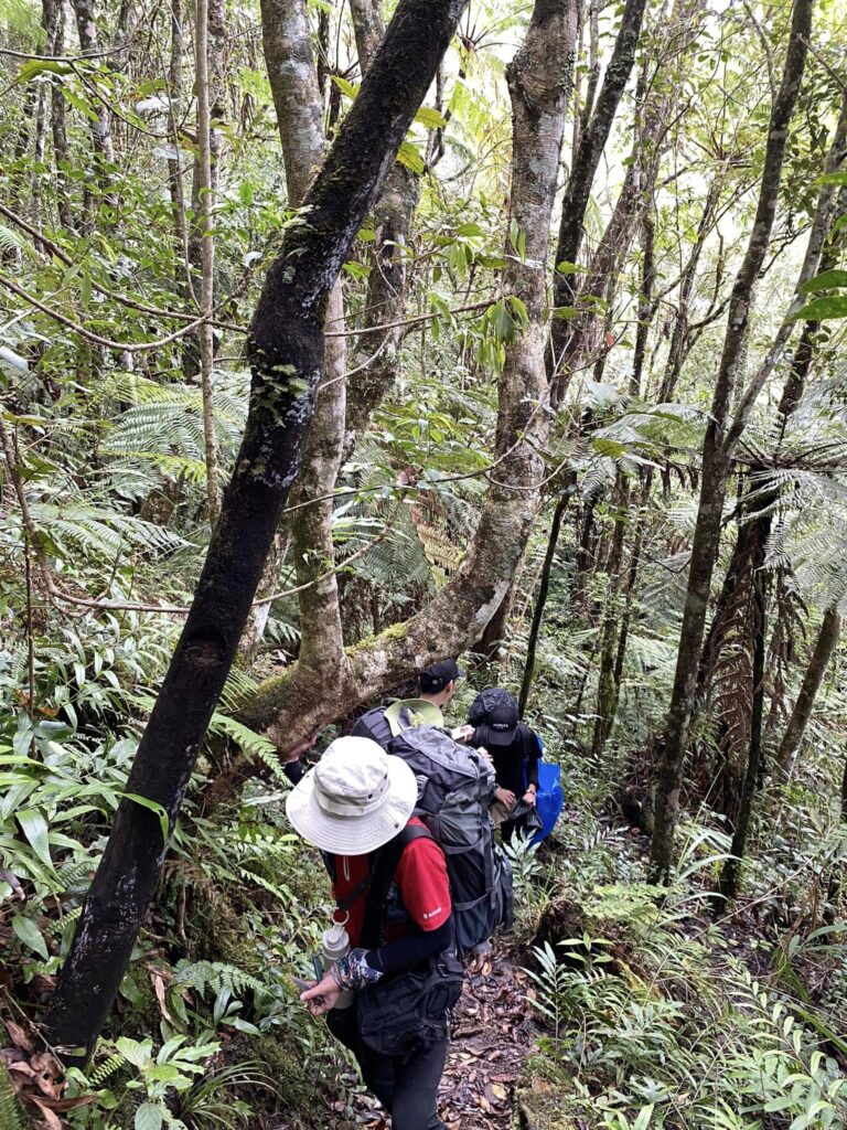
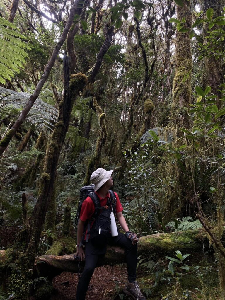
As the second-highest mountain in the Philippines, Mount Kitanglad Range Natural Park offers a challenging yet rewarding climb through lush, mossy forests and diverse wildlife habitats. The mountain is sacred to the Talaandig people and serves as a crucial biodiversity hotspot, home to endangered species like the Philippine eagle. Hikers can experience the unique “sea of clouds” phenomenon at sunrise, with the summit providing panoramic views of Bukidnon’s highlands.
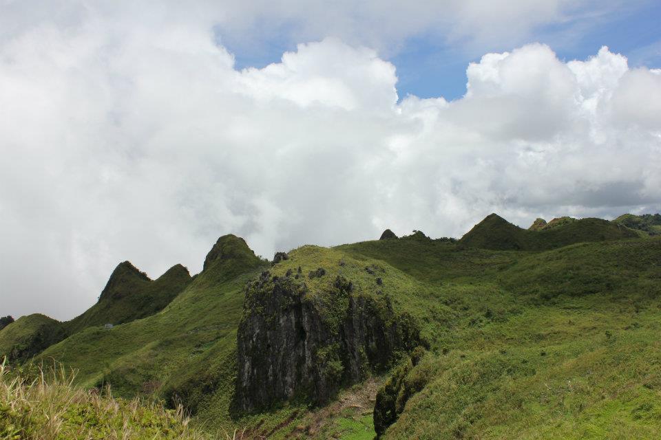
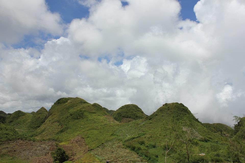
Osmena Peak
Standing as Cebu’s highest point at 1,013 meters, Osmeña Peak features dramatic jagged rock formations that resemble chocolate kisses. The relatively easy 30-minute hike rewards visitors with 360-degree views of Cebu’s southern mountains and coastline. Its accessibility from Dalaguete and stunning landscape photography opportunities make it one of the Visayas’ most popular day hike destinations.
Mount Dulang-Dulang
At 2,938 meters, Mount Dulang-Dulang claims the title of Mindanao’s highest peak. The challenging trail winds through pristine mossy forests that are often shrouded in mist, creating an almost mystical hiking experience. As part of the Kitanglad Mountain Range, it shares the same rich biodiversity and cultural significance to indigenous communities, with the summit offering breathtaking views of neighboring peaks.
Mount Matunog
This emerging hiking destination in Bohol provides a moderately challenging 2-3 hour trek to its 630-meter summit. Unlike the famous Chocolate Hills, Matunog offers a more rugged adventure with rewarding views of both the iconic hills and the distant sea. The trail passes through varied terrain, including grasslands and small forests, making it an excellent alternative for travelers seeking less crowded nature experiences in Bohol.
Hiking apps in the modern world is an essential tools for modern hikers, that offer some navigation assistance, weather updates, a fitness tracking, and astronomical insights by using the apps like Pinaspeaks, Strava, Google Maps, AllTrails, and others can help the hikers can ensure a safer and a much more organized and enjoyable outdoor experience. These apps will help you make the most of your next hike, so next time you have a buddy beside you who can help you throughout your hike.
Comments are closed.