
From 7,107 to 7,641—did Maui pull another island from the sea?
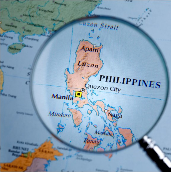
The Philippines is an archipelago made up of three main islands: Luzon, Visayas, and Mindanao, along with many smaller islets. Luzon, located in the north, is the largest island. Mindanao is the second largest, while the Visayas region consists of several islands including many well-known ones.
According to the National Mapping and Resource Information Authority or the NAMRIA, The Philippines’ 7,107 islands have been updated to 7,641 islands. This is due to the advancement of technology. Back then mapping technology was limited, but thanks to the enhancement of technology, such as the Interferometric Synthetic Aperture Radar (IFSAR), the islands that were previously limited by any radar and other apparatus have now been discovered.

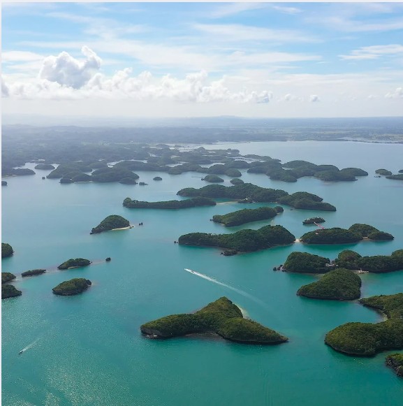
Another contributing factor to the newly discovered islands is the evolving geological features of the Philippines, over time natural processes such as volcanic activity, sedimentation, and erosion can lead to changes or formation of the landscape or landmasses.

It’s fascinating how technology can change our understanding of geography, isn’t it?
Comments are closed.