
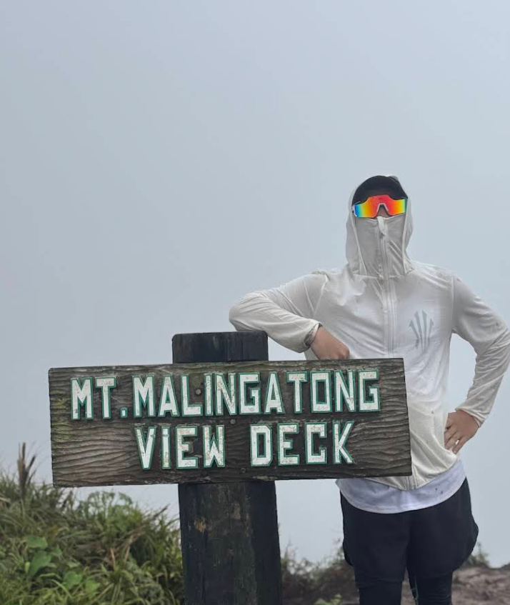
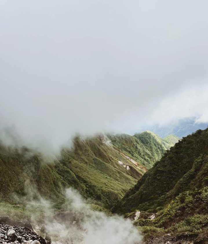
Mt. Malingatong rises majestically at 1,205 meters above sea level. This newly discovered peak offers trekkers panoramic views of Leyte’s lush landscapes. Unlike the well-trodden trails of nearby Alto Peak or Lake Janagdan, Mt. Malingatong remains largely untouched, giving visitors a rare sense of solitude amid nature.
The Trek: Challenge and Reward
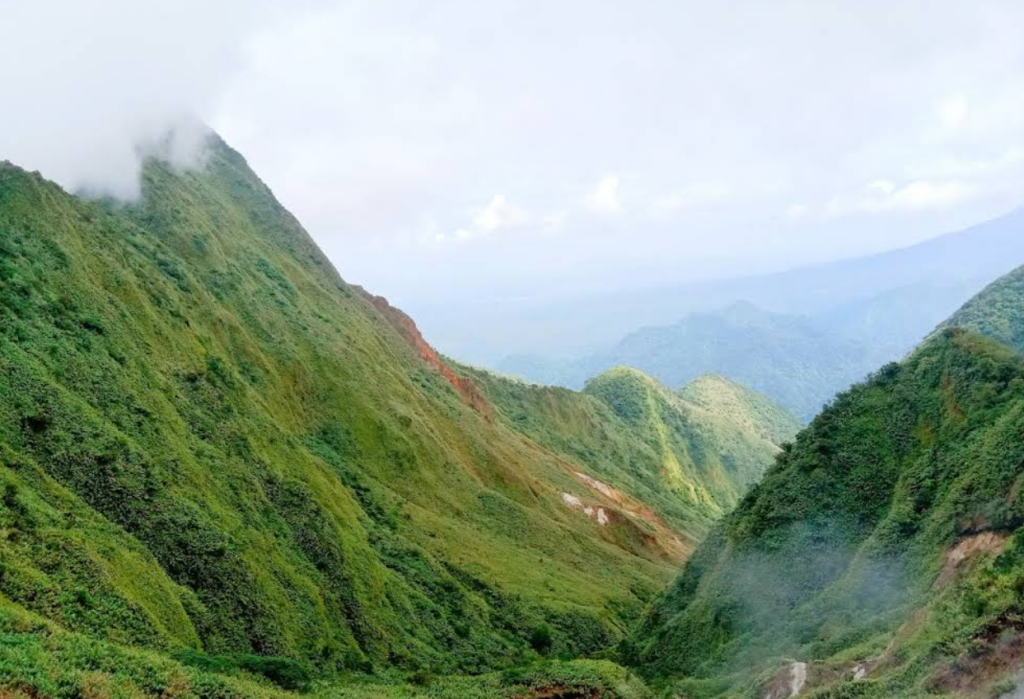
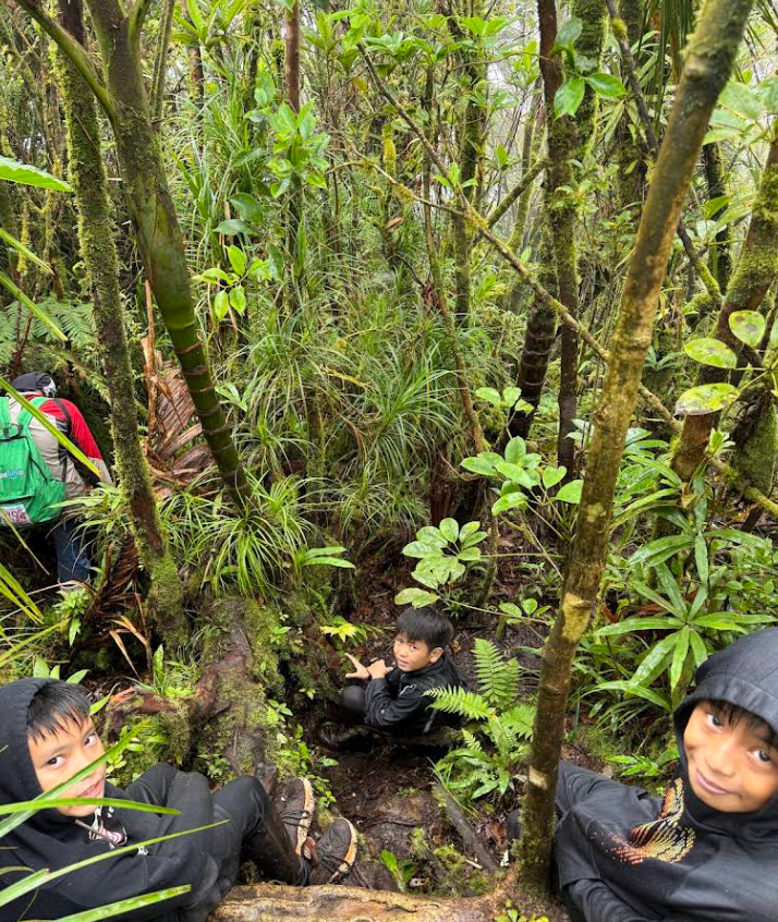
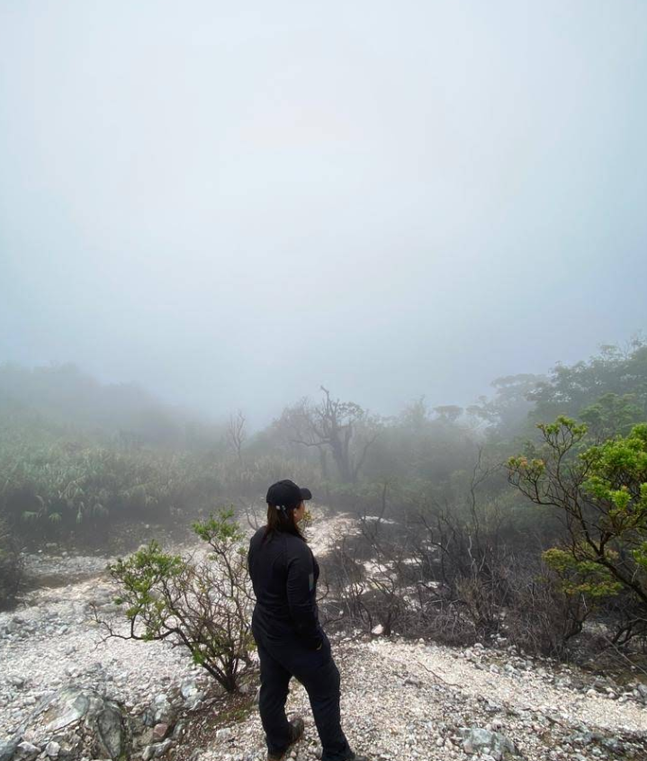
The hike to Mt. Malingatong’s view deck is moderately challenging, particularly during the rainy season when trails become slippery. Adventurers will be rewarded with breathtaking vistas that stretch across Ormoc’s rolling hills and distant coastline. Early morning treks are ideal, with the misty sunrise adding a magical touch to the journey.
When to Visit
The best time to explore Mt. Malingatong is during the dry season from November to May. This ensures stable trails and clear skies, perfect for photography and panoramic viewing. Avoid the rainy months when trails become treacherous and muddy.

How To Get There?
Location: Barangay Cabintan, Ormoc City, Philippines
- By Car: From Ormoc City proper, drive along the Ormoc-Bura Road heading towards Barangay Cabintan. Look for the turn-off leading to the foot of Mt. Mlingatong near local signage. The drive takes approximately 40–50 minutes, depending on traffic and road conditions. It’s advisable to use a vehicle with good clearance as the last stretch can be rugged.
- By Commute: For commuters, take a van or jeepney bound for Barangay Cabintan from Ormoc City terminal. Ask the driver to drop you near the base of the mountain. From there, it’s a 30–45 minute trek to the start of the main trail. Hiring a local guide is recommended for first-time visitors to ensure a safe and smooth journey.
Comments are closed.