An island bigger than Bohol and located in Mindanao?
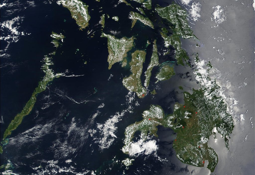
Among the 7,641 islands that make up the Philippines lies a hidden gem shrouded in mystery – the island of San Juan.
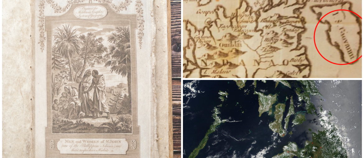
Known as the Lost Island, San Juan is located at the northern tip of Mindanao, or at least that’s what the maps stated. It is dubbed the “Atlantis Of The Philippines” because it existed from the 16th to 18th century, but it just vanished from the latest maps.
The Discovery of San Juan
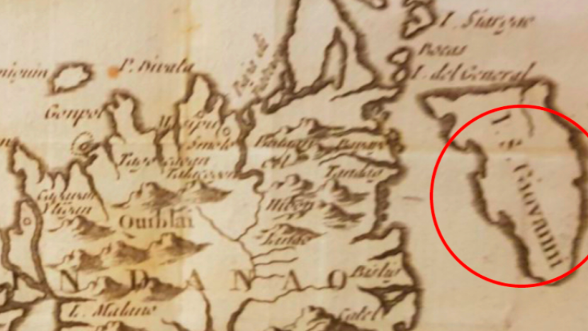
In 1570, Flemish cartographer Abraham Ortelius marked an island off the coast of Cebu, naming it “Ilhas de S. Johan.” This was further confirmed by Portuguese cartographer Gaspar Vargas in a 1537 chart, referring to the area as the island of San Joa.
By 1575, Ilhas de S. Johan became recognized as a distinct island from Cebu. This separation was officially acknowledged in a map published in Madrid, Spain, in 1601 by Antonio de Herrera y Tordesillas. Early reports suggest that the island of San Juan was separated from the land mass of Mindanao, larger than Bohol, and may have been as big as Panay Island.
The Inhabitants of the Lost Island
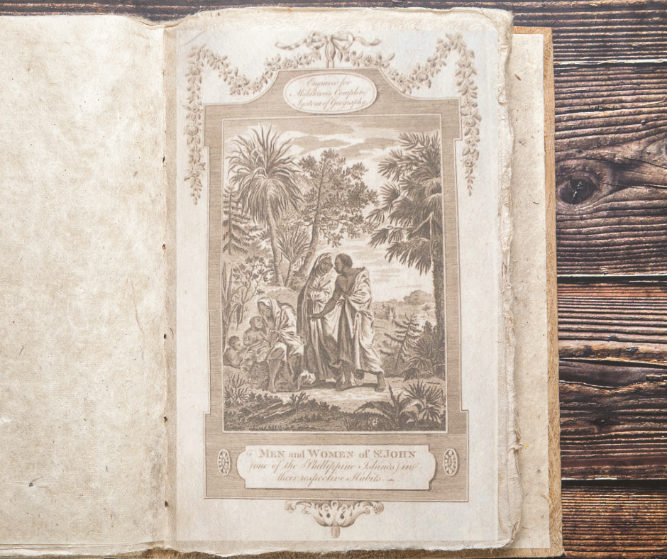
Naval officer and cartographer Christopher Middleton took an extra step in his book “A New and Complete System of Geography,” published around 1777-1780. In this series, he included prints of the people of San Juan, showing them as taller than the average person from the East, with dark, curly hair, living on an island filled with palm and fruit-bearing trees.
The Renamed San Juan
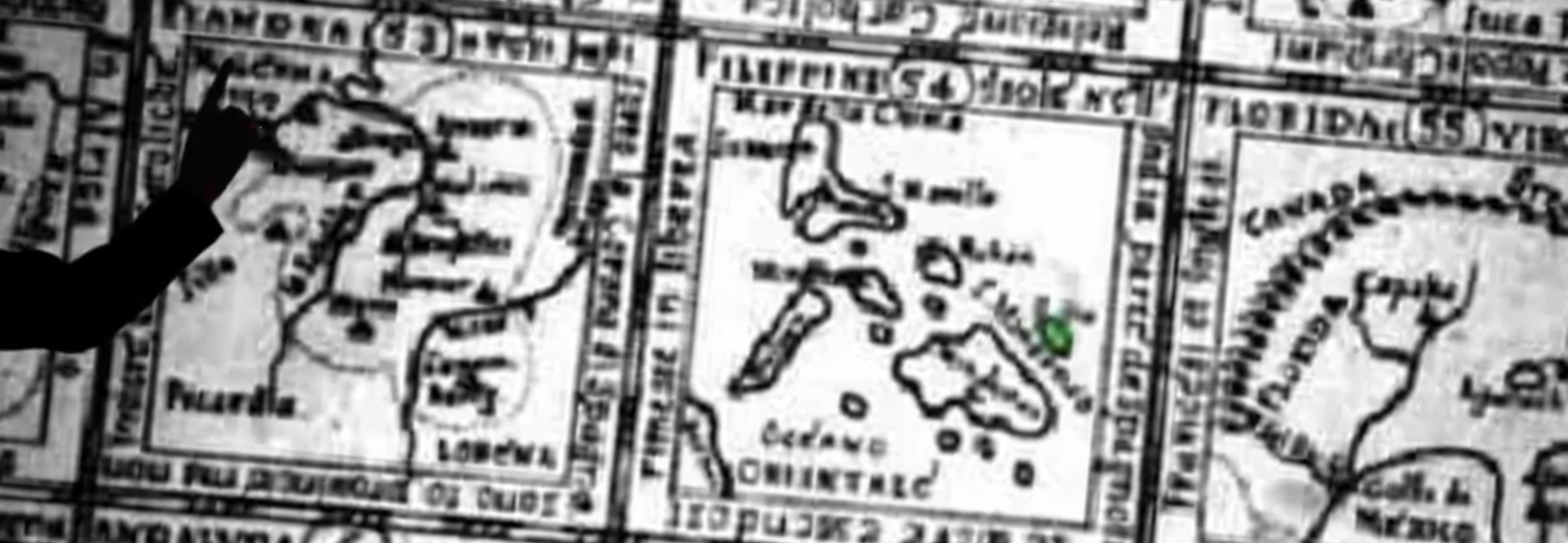
Cartographers over the years drew the island of San Juan whenever they created a map of the Philippines; however, one in particular decided not to include the island. Jesuit cartographer Murillo Velarde drew a Philippine map without the San Juan island in 1734. This sparked the beginning of speculations as to where the island is, especially since the current one we have no longer included the place. Some believed the island may have led to the same fate as Atlantis, sinking due to natural phenomena. In addition, others even blame the Agusan River as it runs between the islands in Mindanao.
The Jesuit maps, which were more precise, provided clarity on the matter, suggesting that the original San Juan was probably located in the areas between Palau and Sonsorol. Both were not in the Philippines but part of Oceania.
Out of the two islands, Sonsorol is a closer match as it is similar to San Juan’s description, consisting of two islands situated approximately north of Mindanao.
So, it is concluded that the once-lost island of San Juan is not a part of Mindanao, nor the Philippines, as it belongs to the country of Oceania and is known as Sonsorol, an island in Palau.


Comments are closed.