
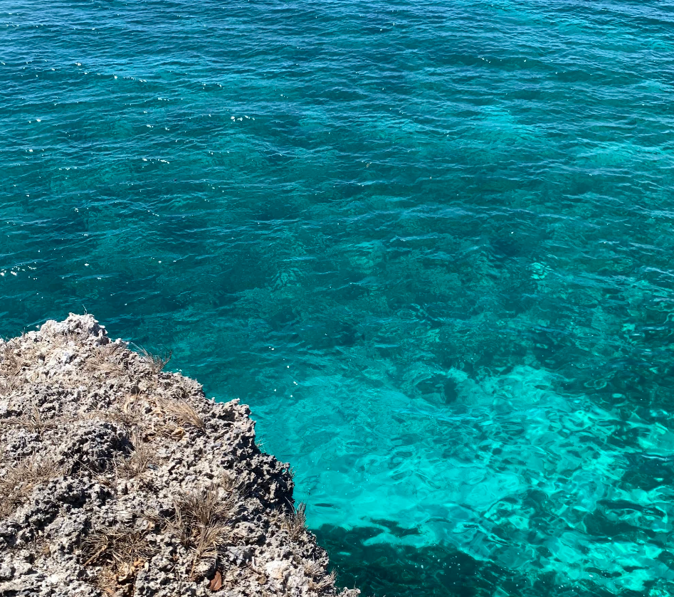
Located just over an hour by outrigger boat from Naval, Biliran, Higatangan Rock Formations stands as one of the province’s most striking natural attractions. Despite its remote location, the island draws visitors with its dramatic coastal landscapes and serene island charm.
A Glimpse of History

The highest point of the island, Marcos Hill, rises 46 meters above sea level and is home to a lighthouse guiding local boatmen. The hill is historically significant, as President Marcos temporarily sought refuge here during World War II.
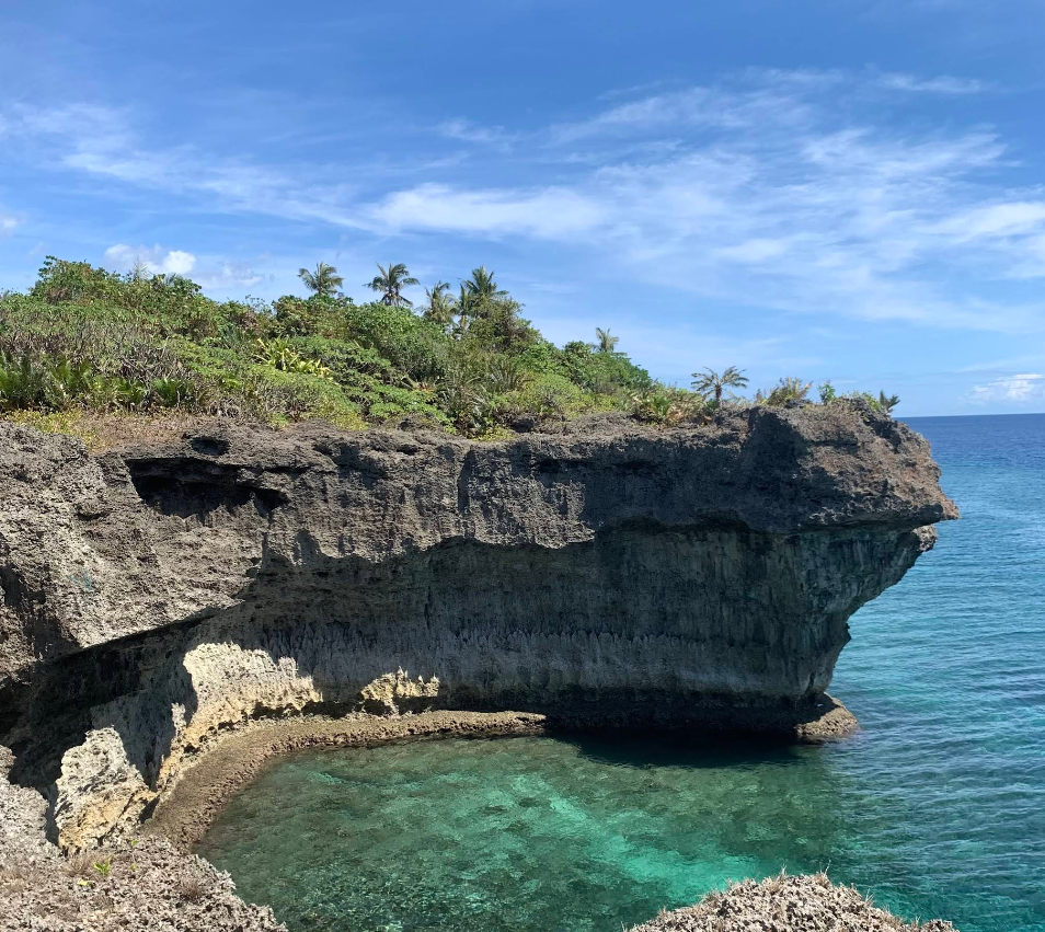
Sculpted by Nature
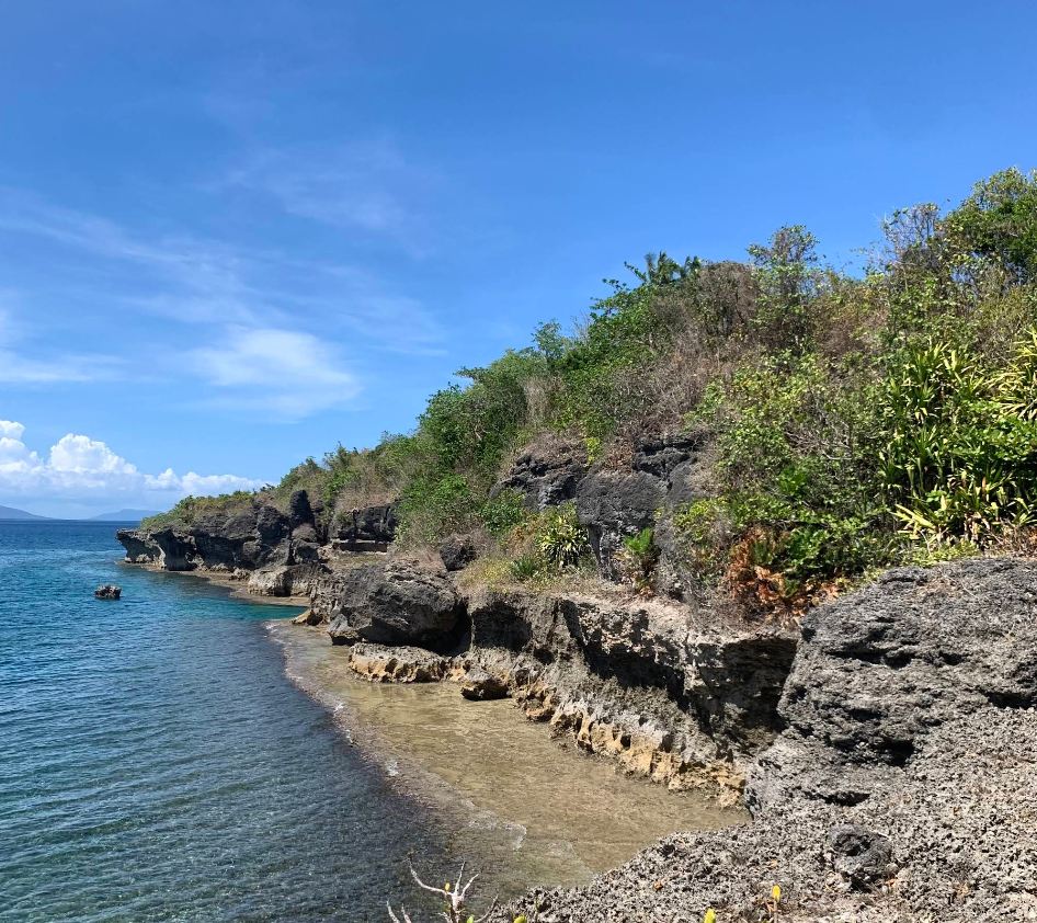
The rock formations along Higatangan’s coastline are the result of centuries of wind, water, and erosion. These spectacular outcrops, often compared to the formations in Biri and Camiguin, rise against the backdrop of the Visayan Sea, creating a dramatic display of nature’s artistry.
How To Get There?
Location: Higatangan Island, Naval, Biliran, Philippines
- By Commute: Travelers can reach Higatangan via Tacloban City or Cebu City. From Tacloban, a 2.5-hour shuttle van ride brings visitors to Naval, Biliran, followed by a 45-minute boat trip to the island. From Cebu, fast craft to Ormoc and a subsequent shuttle to Naval provide another route.